
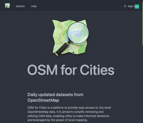
Kubernetes cluster for distributing OpenStreetMap data presets for various cities.
- Helm
- Kubernetes
- Docker
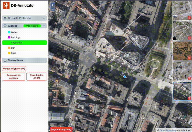
DS-Annote is a cutting-edge tool that leverages the Segment Anything Model (SAM) for the annotation of machine learning training.
- React
- AI
A script that serves as a boilerplate to kickstart your Python scripting project within a Docker container.
- Python
The Chippy Checker Editor is a QGIS plugin aimed at reviewing and editing chips and their corresponding label-geojson files, specifically...
- Python
- QGis
- AI
- Annotation-tool
- Data-training
Spherical2Images is a tool that allows you to split spherical images from Mapillary or other sources. This enables you to...
- Python

GeoKit is a Command-Line Interface (CLI) tool developed in JavaScript, Python, and Java. It serves as a centralized repository for
- Python
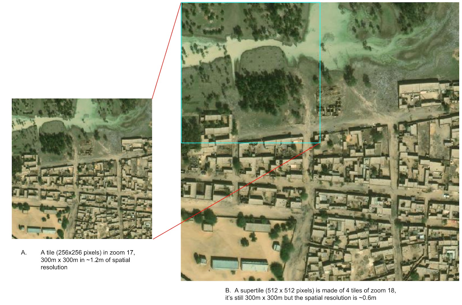
Super Tiles is a script designed to accept vector data inputs, either points or polygons, and identify the corresponding tile...
- Python
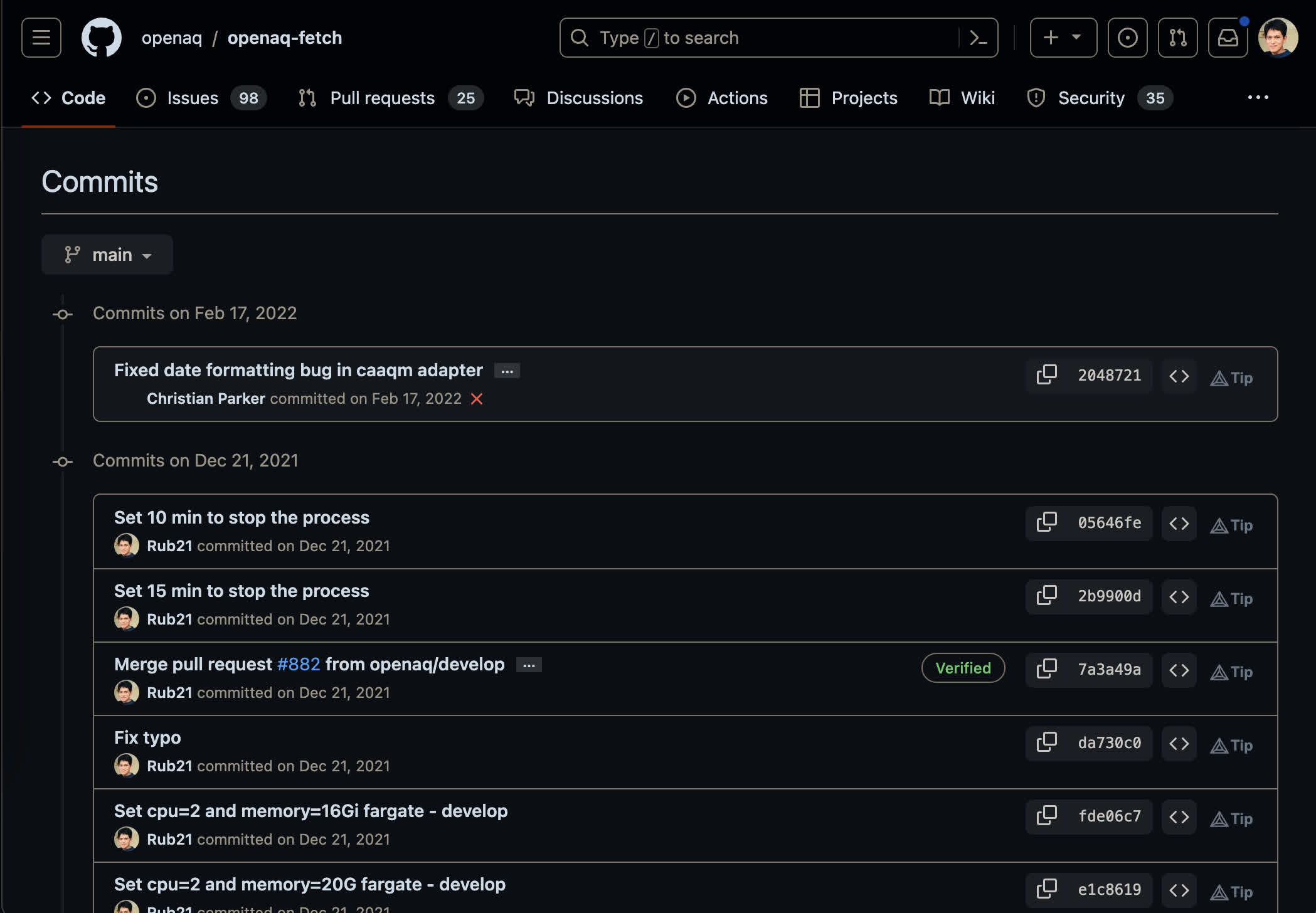
OpenAQ-Fetch is a Node.js script designed to fetch air quality data from multiple reporting sites, serving as a data ingestion
- React
- Redux
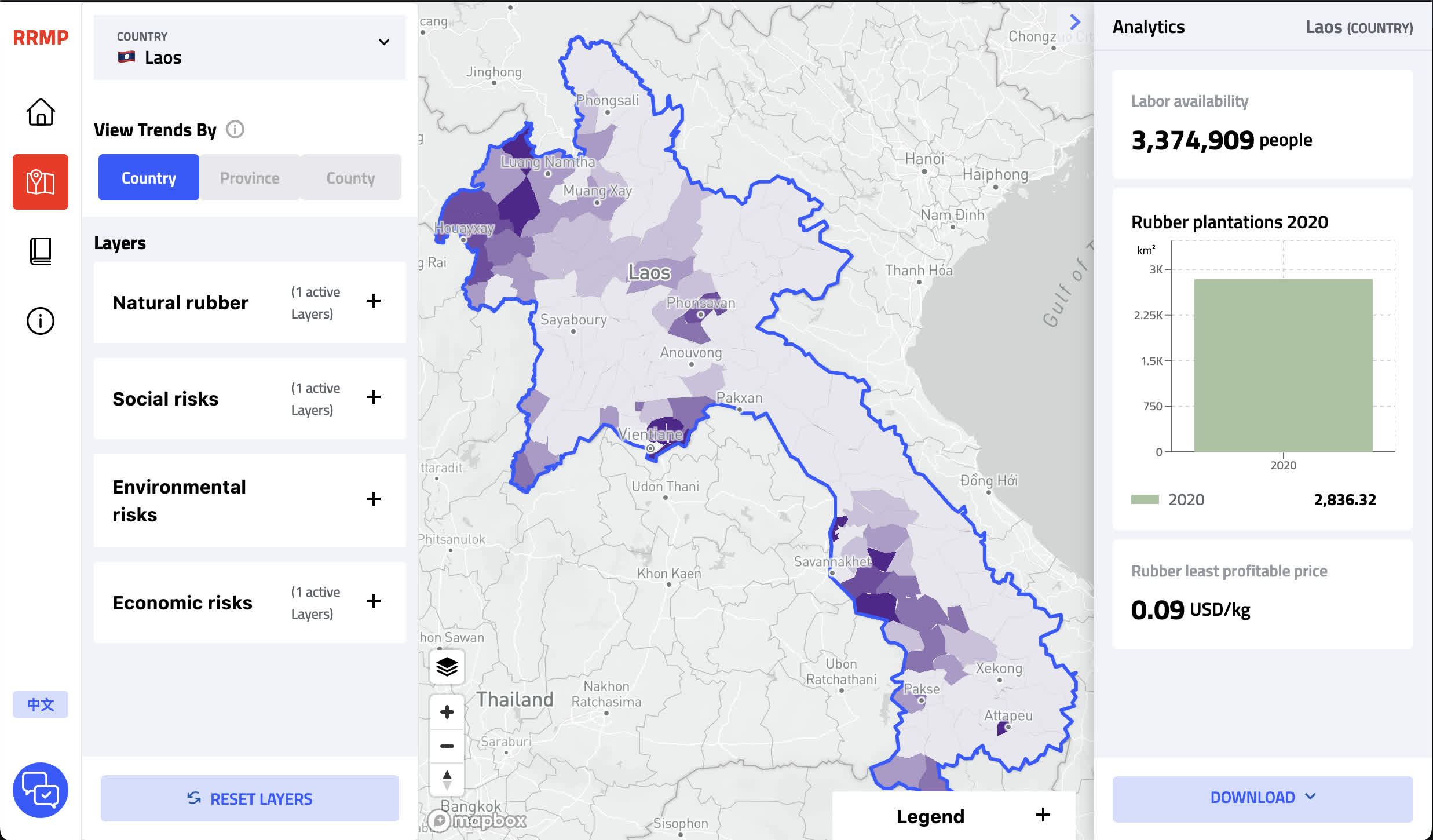
The rubber risk mitigation platform, developed to back the Guidelines for Sustainable Development of Natural Rubber, is spearheaded by the
- React
- Redux
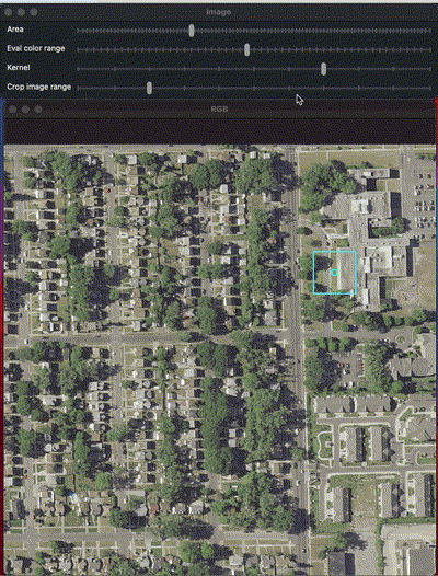
Vectorizing Color Range to Geocoordinates is a tool designed to vectorize data based on a specific color range. Initially created...
- Python
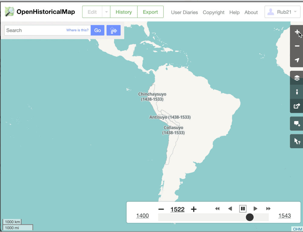
I serve as an Infrastructure Developer in OpenHistoricalMap project, which is hosted on Amazon Web Services (AWS) and utilizes Kubernetes...
- Python
- Mapping
- Docker
- Kubernetes
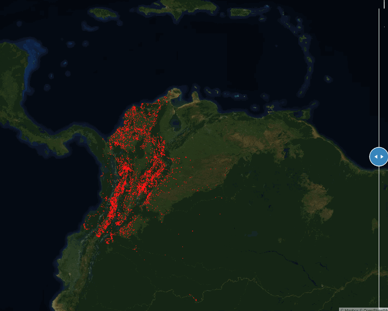
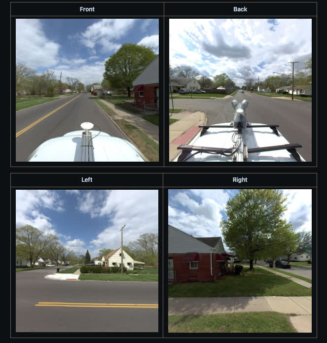
We've partnered with UNICEF to locate unmapped schools across eight countries: Kenya, Rwanda, Sierra Leone, Niger, Honduras, Ghana, Kazakhstan, and...
- Python
- Postgres
- Docker
- Tensorflow
- AI
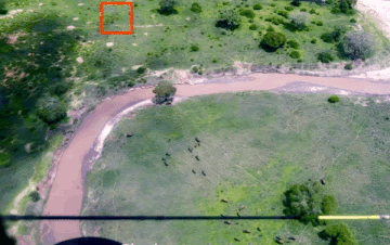
In collaboration with the Tanzania Wildlife Research Institute (TAWIRI), we at Development Seed have devised an AI-powered survey methodology. This...
- Python
- Postgres
- Docker
- Tensorflow
- AI

Navigating the complex architecture of OpenStreetMap (OSM) can be daunting. At DevSeed, we've streamlined this intricate ecosystem by containerizing it...
- Kubernetes
- Docker
- Helm
- Bash
- Python
- OpenStreetMap
As part of a World Bank initiative, Development Seed—the company I am affiliated with—is working on identifying potentially hazardous construction...
- Python
- Postgres
- Docker

Scripts that contains a collection of scripts designed to fetch geographic data from the INEI Atlas. These scripts make
- Node.js
- Turf
- Cheerio
- Bash

FloodWatch is a web application that serves as a real-time reporting and navigation assistant during flood events. It enables neighbors...
- Node.js
- OpenStreetMap
- OSMRM
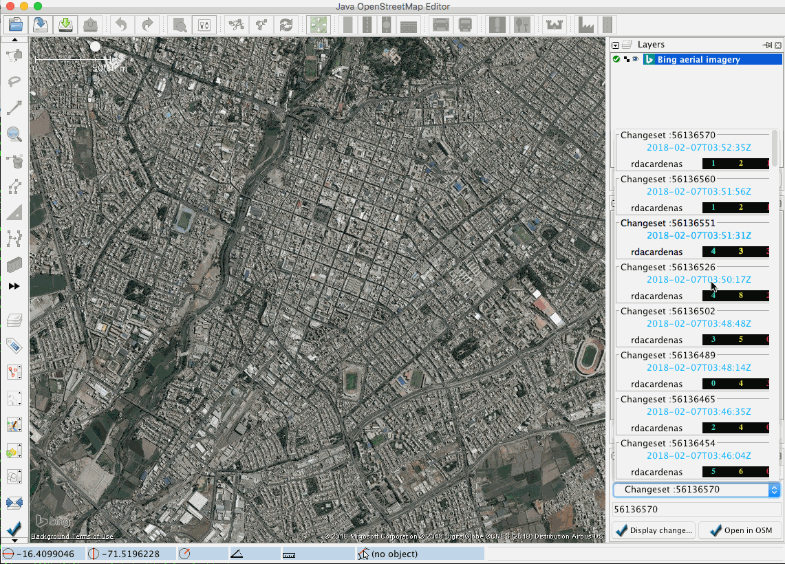
Introducing the Changeset Viewer Plugin, a powerful extension for JOSM that allows you to visualize one or multiple changesets with
- Java
- Java OpenStreetMap Editor

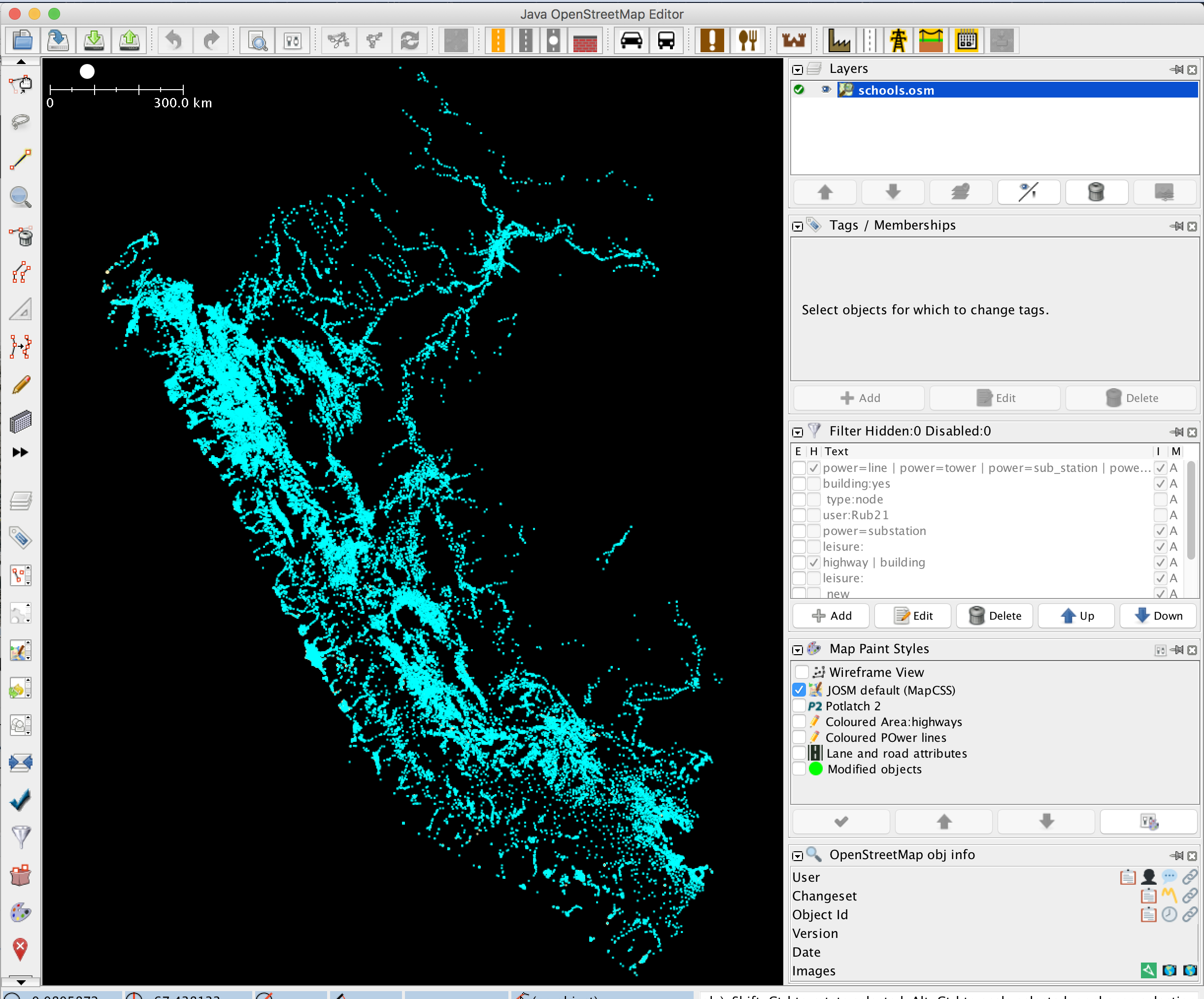
Welcome to the dedicated platform developed by the Peru-OSM community to streamline the school import process into OpenStreetMap. This website...
- JavaScript
- HTML
- CSS
Introducing our Command-Line Interface (CLI) tool designed to partition 100,000 points into density-based blocks. This tool is particularly useful for
- Tile-reduce
- Turf
- Rbush
- Underscore
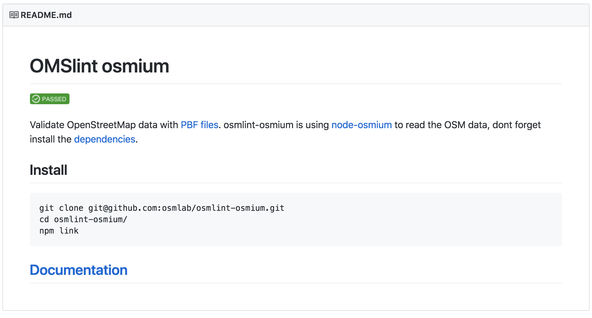
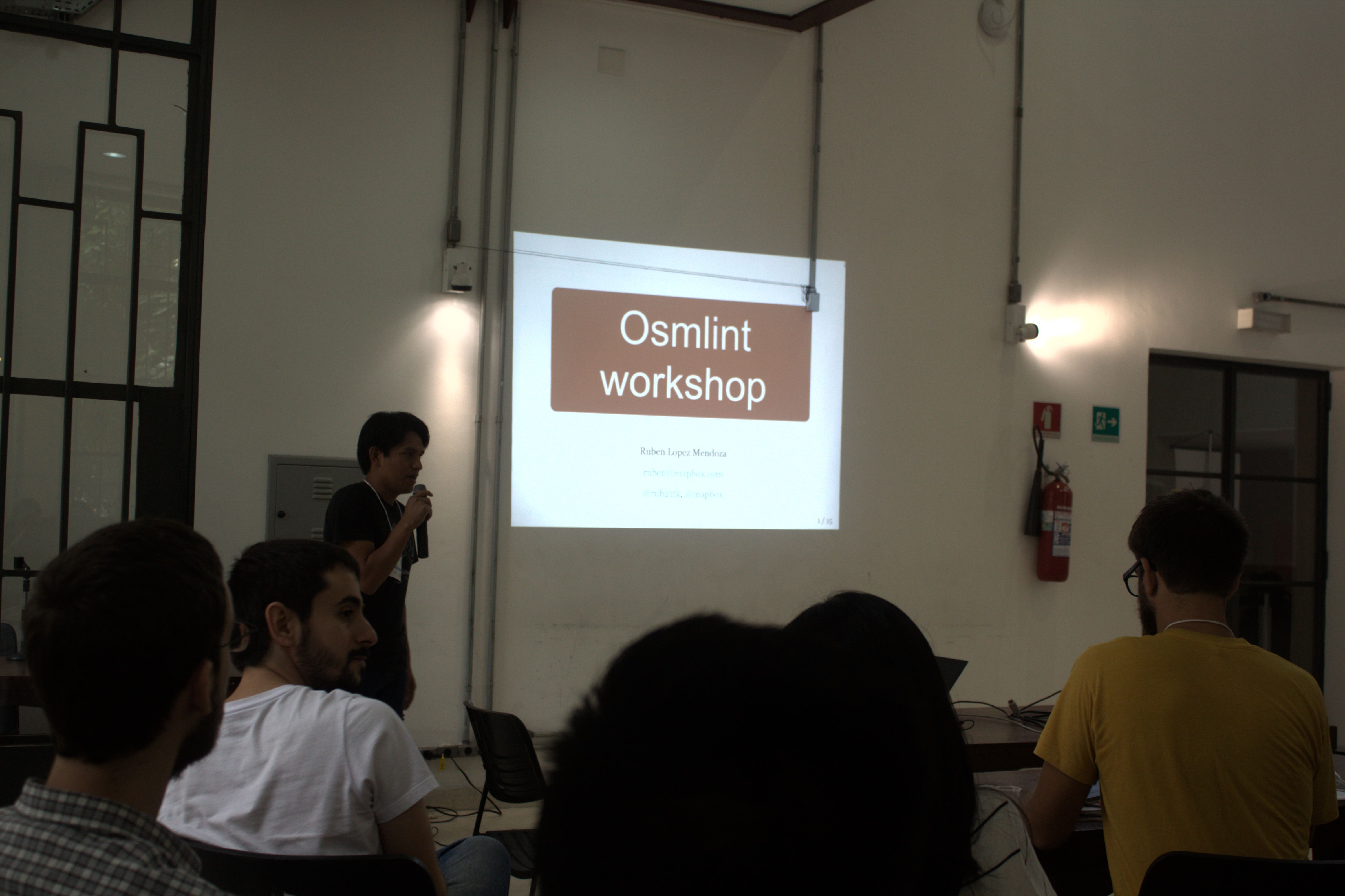
Welcome to Osmlint-osmium, a comprehensive suite of scripts designed to validate OpenStreetMap data using PBF files. Built atop node-osmium, this
- Tile-reduce
- Turf
- Rbush
- Underscore

FloodAlerts Peru is a community-focused web application designed to address the challenges posed by flooded streets. Initially adapted to confront...
- JavaScript
- HTML
- CSS

The backend infrastructure is architected to handle the high volume of tasks, and to ensure smooth interactions between the frontend...
- Node.js
- Hapi.js

The TurnLanes-Tagging Editor Plugin is a user-friendly tool designed to simplify the process of adding turn:lanes tags to highways in...
- Java
- Java OpenStreetMap Editor

The OSM Object Info Plugin is a handy tool designed for JOSM users who want to quickly view detailed information...
- Java
- Java OpenStreetMap Editor

GeoJSON-to-OSM is a Node.js Command Line Interface (CLI) tool designed to facilitate the conversion of GeoJSON files to OSM (OpenStreetMap)...
- Node.js
OSMLint is a robust validation tool designed to ensure the integrity and quality of OpenStreetMap (OSM) data. Built on the...
- Tile-reduce
- Turf
- Rbush
- Underscore

The To-Fix JOSM Plugin is a powerful extension to the JOSM editor that integrates the functionality of To-Fix, the OpenStreetMap...
- Java
- Java OpenStreetMap Editor